

Quick Facts
Meesapulimala ("cat’s tooth mountain") sits at 8,660 ft in the Silent Valley / Anamudi region, making it the second-highest peak in South India after Anamudi. The trek is famous for its rolling grassland ridges and, from the summit, views of Anamudi and the surrounding Western Ghats.
- Altitude: 8,660 ft
- Typical trek distance: 8–13 km round trip depending on route
- Duration: 4–7 hours
- Difficulty: Moderate (sharp ascents, exposed ridges)
- Permit: Ecodevelopment Committee fee, arranged via guides
How Difficult Is It Really?
Moderate — harder than Kolukkumalai, easier than Anamudi. The ascent includes sustained gradient sections and grassy ridges with exposure; fitness requirements are real but achievable for regular walkers. First-timers routinely complete it with a guide and a steady pace. The summit push in the last kilometre is the steepest part — allow 40–50 minutes for it.
Attempt it at sunrise and you add a 3:30–4:00 AM start. It’s cold, dark and the ridge can be windy — which is exactly why organised expeditions run with headlamps, staff guides and hot tea at the summit.
Which Route Should You Take?
The Rhodo Valley route is the most popular — starting near the roadhead with a steady climb through shola forest and rhododendron patches before the ridgeline. The longer Kolukkumalai–Meesapulimala traverse links both peaks but adds hours and demands better fitness. For most campers, the Rhodo Valley route with a sunrise start is the right call.
Preparation Checklist
Train with 5–8 km walks two weeks before. Carry 1.5–2L water, trail snacks, a rain shell (weather changes fast), and trekking shoes with grip — the ridges are grassy and slippery after rain. Altitude is rarely a problem at 8,600 ft, but pace yourself on the final ascent.
Frequently Asked Questions
How difficult is the Meesapulimala trek?
Moderate. The Rhodo Valley route is a 8–13 km ridge trek with sustained ascents — achievable for regular walkers with a guide, tougher than Kolukkumalai but easier than Anamudi.
Do I need a permit for Meesapulimala?
Yes — an ecodevelopment committee permit is required; organised treks arrange it as part of the package.
How long is the Meesapulimala trek?
Typically 4–7 hours depending on route and pace; sunrise expeditions start around 3:30–4:00 AM.
Is Meesapulimala good for beginners?
With an organised guide and reasonable fitness (regular 5–8 km walks), yes — but it is not a casual stroll; do Kolukkumalai first if unsure.
Verified camps, real coordinators, no-surprise pricing.
More Field Guides
View all guides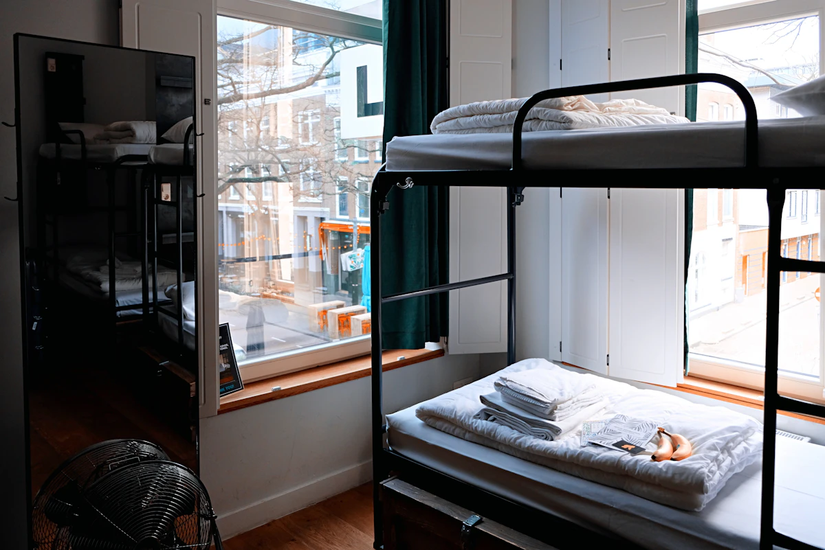
Affordable Stays in Kasol & Kalga: Dorm Beds, Budget Rooms & What They Really Cost (2026)
Parvati Valley does not have to be expensive. Here is what dorm beds and budget rooms in Kasol–Kalga really cost in 2026 — and how to pick an affordable stay that still includes hot showers, meals and mountain views.

Most Scenic Stays in Parvati Valley: Sunrise Decks, Balconies & Stargazing Beds
Everyone photographs the Parvati Valley — few stays actually face the sunrise. Here is how to pick a genuinely scenic stay: sunrise orientation, balcony math, stargazing darkness and the Kalga benchmark.
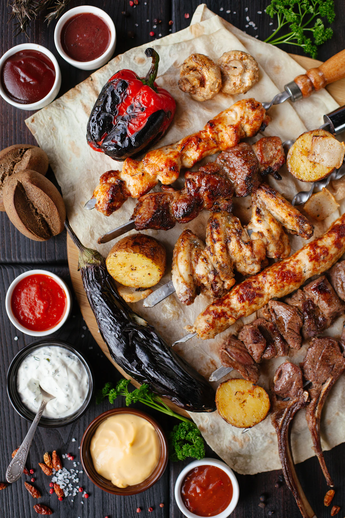
What You Actually Eat at a Munnar Camp: Campfire BBQ, Kerala Buffet & Mountain Breakfast
The campfire gets the photos, but the food wins the reviews. Here is exactly what lands on your plate at a verified Munnar camp — BBQ, buffet, breakfast — and how to eat well as a vegetarian.